Resection: Triangulating Your Position Without GPS
- Tyler Bryant

- Sep 7, 2022
- 3 min read
Updated: Feb 3, 2023
GPS-capable devices have allowed people to navigate with near pin-point accuracy through the wilderness with virtually zero knowledge of navigation. Despite how accurate and easily implemented GPS technology is, it suffers from a few major drawbacks. Any electronic device has limited battery life and is susceptible to damage from drops, moisture, and several other environmental factors one may encounter in the backcountry. Don’t fall victim to equipment failure; being able to triangulate one’s position with a map, compass, and protractor will add redundancy to your kit and act as a failsafe when technology ultimately fails you.

Resection is a navigation technique that allows one to find their current unknown location from two or more known man-made or natural land features. This technique only works if the land features are visible to you from the ground and also identifiable on your map.
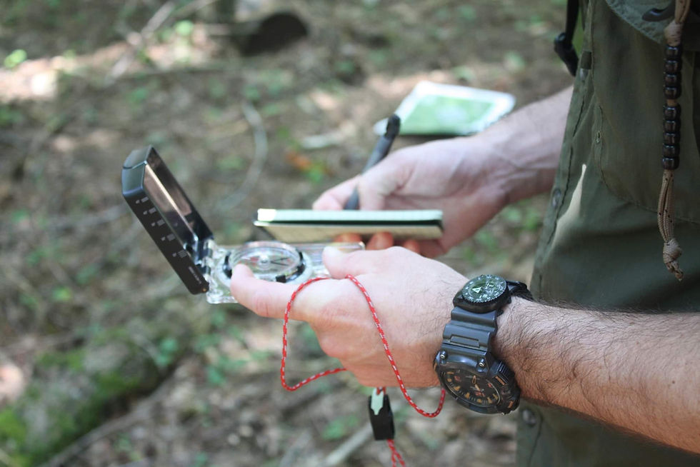
In order to triangulate your position, you must identify at least two known features on your map that are also visible from your location on the ground. These features can be saddles, mountain tops, river intersections, cell towers, or virtually anything else that’s easily identifiable and indicated on your map. Once you have determined your two known features, using your compass, shoot an azimuth to each feature. Take note of these azimuths and determine the back azimuth for each (180° opposite your magnetic azimuth).
Once you have determined the back azimuth from each land feature, you must account for declination by converting your magnetic azimuth to a grid azimuth. Magnetic declination is outside the scope of this particular article but will be addressed in a later article. The magnetic declination value varies based on where you are so be sure to do your research to determine the exact value before you head out. With a fine-tipped pencil and protractor, draw a line on your map from the known land features along your grid back azimuth.
If done correctly, the two lines that you have drawn will intersect at a certain point on the map. This intersection is your general location.
For example, you find yourself in a relatively open area and can easily identify two land features in the distance. One is a hilltop by an area known as Reynolds Hollow. The other feature is the high point of a saddle. From your location, you use your compass to shoot an azimuth to the Reynolds Hollow Hilltop; the azimuth is 49°. Assuming a zero-degree declination for ease of explanation, the back azimuth would be 229°. Using your protractor, draw a thin line starting from the hilltop at 229°.
Now that you have drawn your first resection line, if done correctly, you can be certain that your location is somewhere along that line. However, this leaves a lot of room for error which is why we need at least one more line to more accurately triangulate our position.
Using your compass, now you must shoot an azimuth to the other land feature, the high point of the saddle; the azimuth is 341°. Once again, assuming a zero-degree declination, the back azimuth would be 161°. Using your protractor, draw a thin line starting from the high point of the saddle at 161°.
Where these two lines intersect is your general location.

Due to compass imprecision and user error, this point is only a close estimate of your location. This error may be minimized by shooting an azimuth to more land features. By using a third land feature you are essentially creating a small triangular area that more accurately represents your current location. For example, if we use another notable feature and determine the back azimuth using the technique listed above, we can determine our location to a more accurate degree.

Resection is also incredibly useful for determining your location along a trail. If we assume that we are at a point along a trail, we can treat the trail on the map as one of the drawn azimuth lines. All that is left to do is determine the azimuth of one known land feature and draw our line on the map. Where the line crosses the trail indicates your current location.
As with all map and compass navigation, practice is required to successfully implement these techniques in the backcountry. By training these techniques, we are adding redundancy to our kits, effectively “lost-proofing” ourselves, and ensuring our family’s safety should modern technology inevitably fail us.
If you like what we are doing at the Woodsrunner School. Show your support, by sharing our content.

Tyler Bryant
Wilderness Survival Instructor
Woodsrunner School, LLC

.png)


Comments